

Departure daysDailyBook now
Dim Çayı Picnic Area
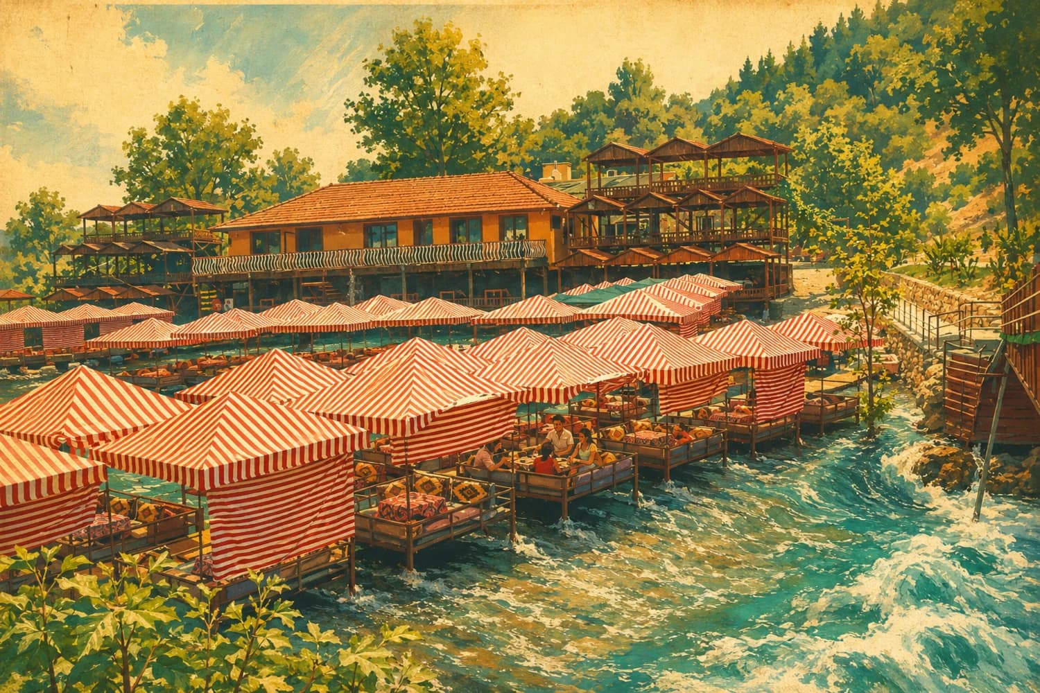
For about seven kilometres below Dim Dam, the riverbank turns into an open-air dining room all summer: some twenty-five restaurants, picnic and camping areas, and shaded gazebos. At its coldest the water drops to four degrees, and jumping towers and water slides wait for the brave. Locals come at the weekend too, so an early hour is more comfortable.
According to Türkiye's culture portal, the Dim rises in the foothills of the Taurus, travels sixty kilometres and reaches the sea on the boundary between Tosmur and Kestel. The picnic bank is the stretch below the dam. In the records of DSİ, the state water works, construction of Dim Dam begins in 1997 and the dam goes into service in 2009.
Restaurant owners interviewed by the Anadolu Agency in summer 2023 described the valley staying ten to fifteen degrees cooler on days when the town centre hit forty-five. Crowds build especially at the weekend, and the day revolves around the water: a meal in a gazebo, then in and out of the river, and for the young, one more go off the jumping tower.
The culture portal also lists fishing among the things to do in the valley. It makes sense to read this bank together with the valley on the Dim river page: the river is the same, and this is the part where everyone sits down to eat.
We do not run a tour that stops at the Dim river. If you want the cool side of the Taurus in a single day, the jeep safari below follows village roads and stops for a swim at Kadıpınarı Waterfall.
- ~7 km of bank below the dam
- ~25 restaurants
- Water down to 4°C
Dim Çayı Picnic Area